Swiss Alps - climbing in Bernese Oberland
This June, for the very first time, I got an opportunity to explore the western part of the Swiss Alps. Apart from various activities in Lenk im Simmental, I took off for two big hikes.
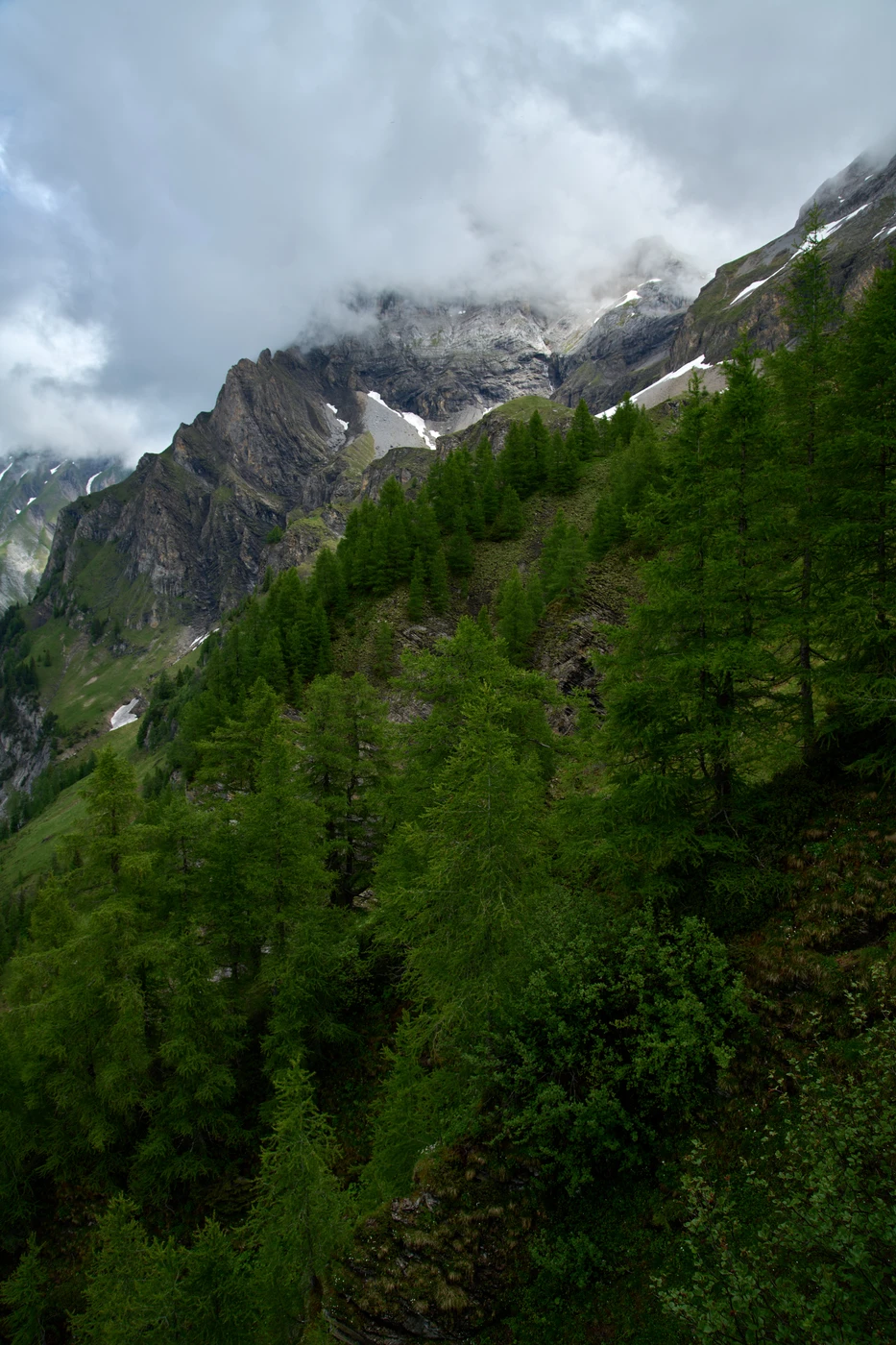
Climb to the Stübleni peak
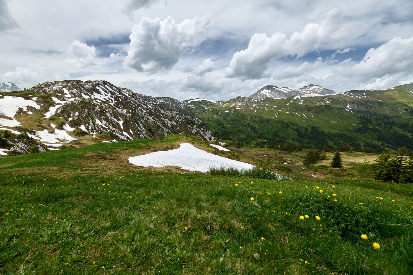
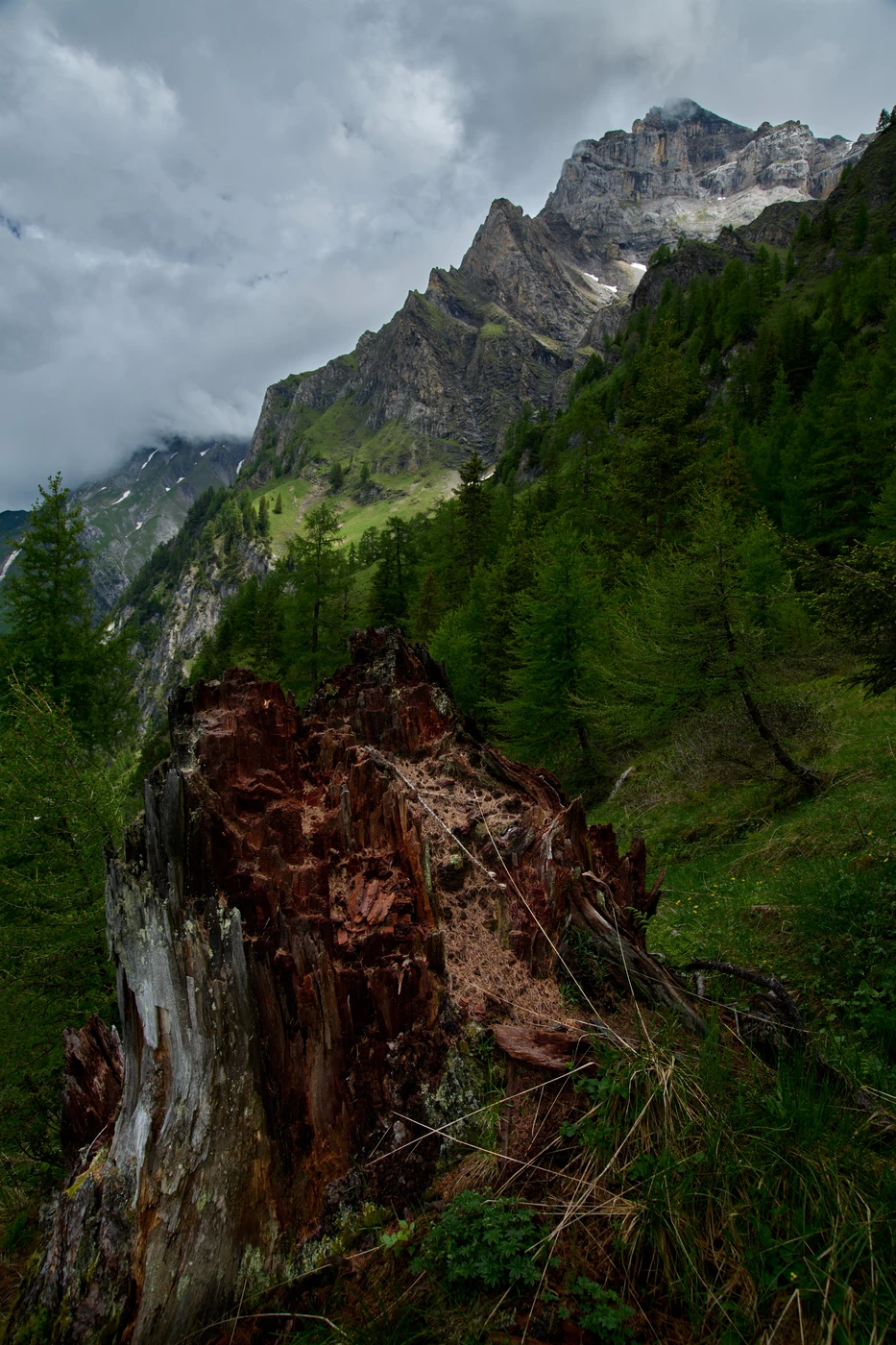
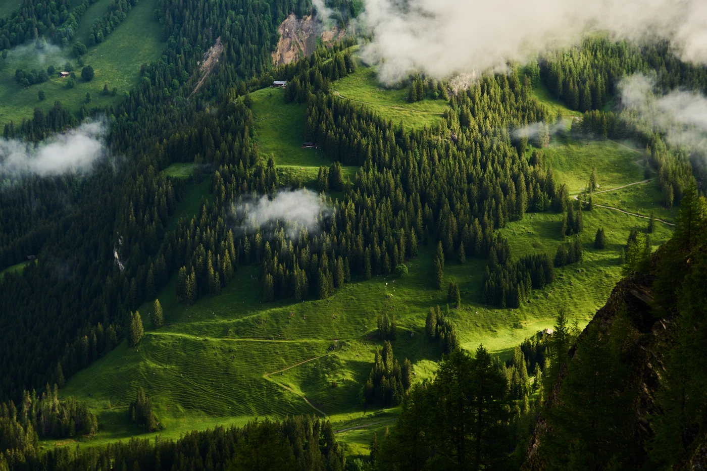
Together with friends, we started this one-day journey down in Lenk. First, we climbed almost 1000 meters up to the Betelberg/Leiterli hill while watching people going up by a cable car.
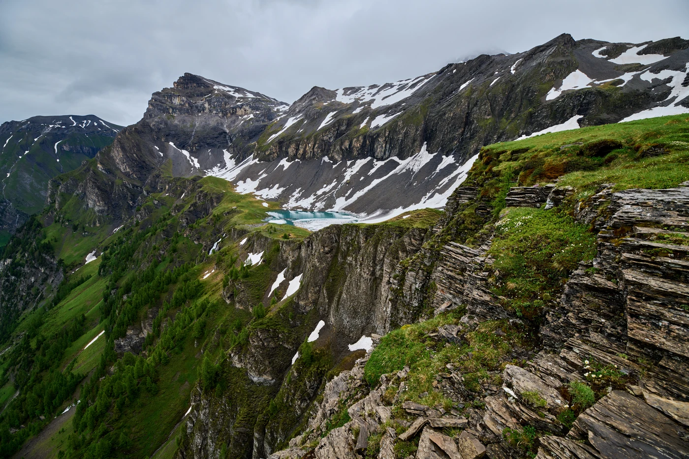
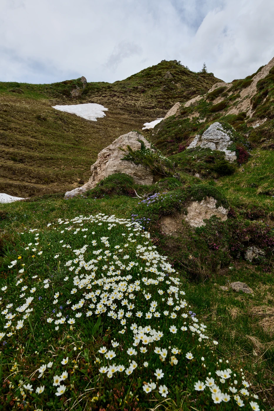
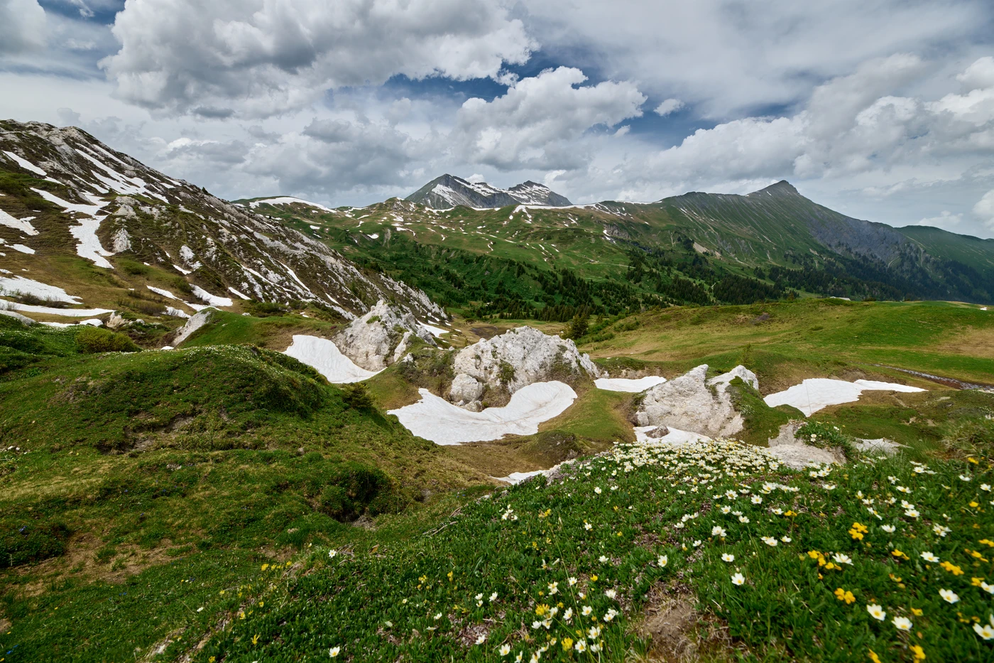
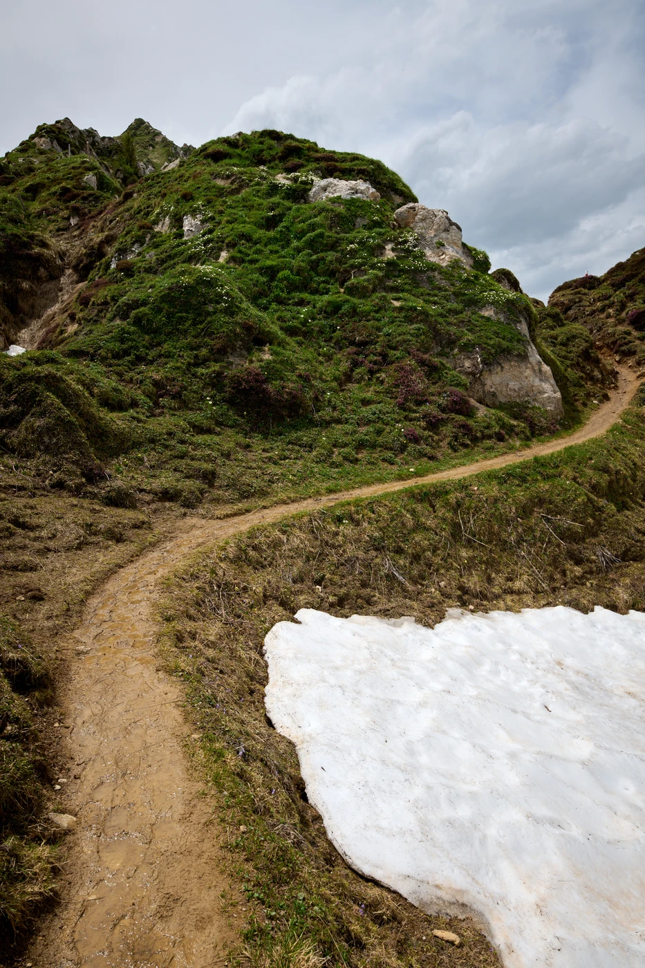
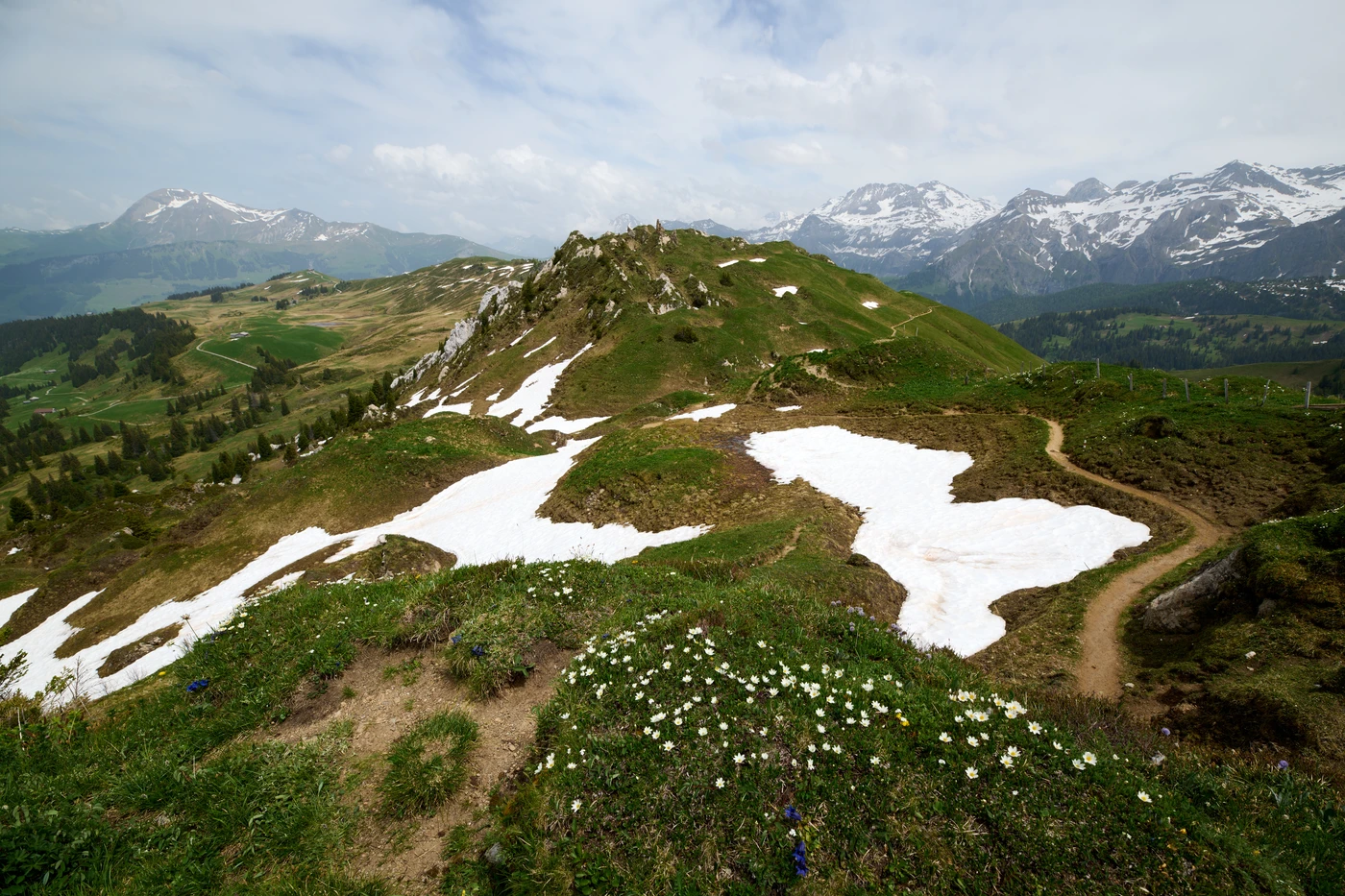
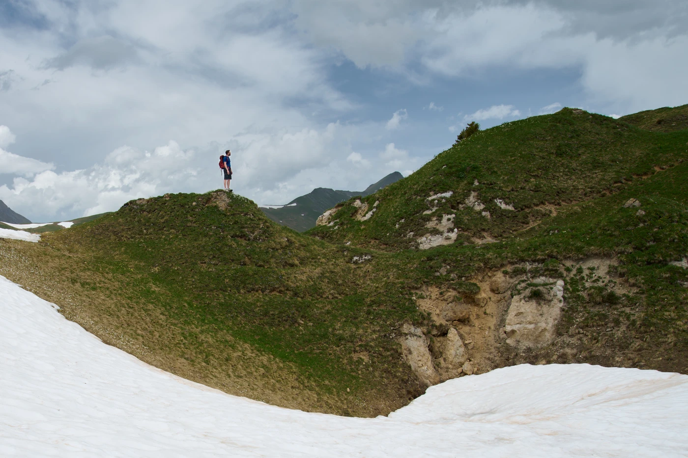
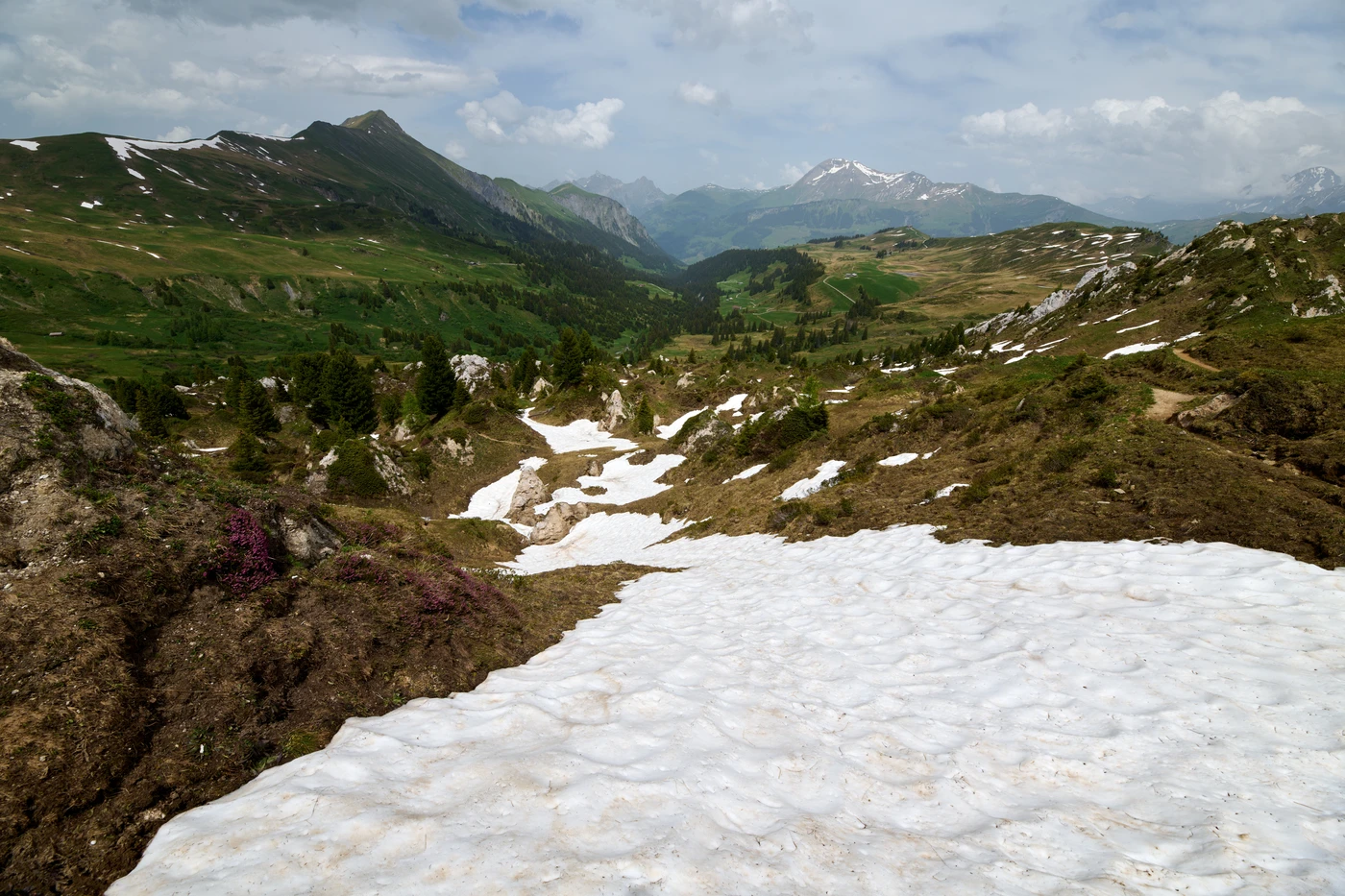
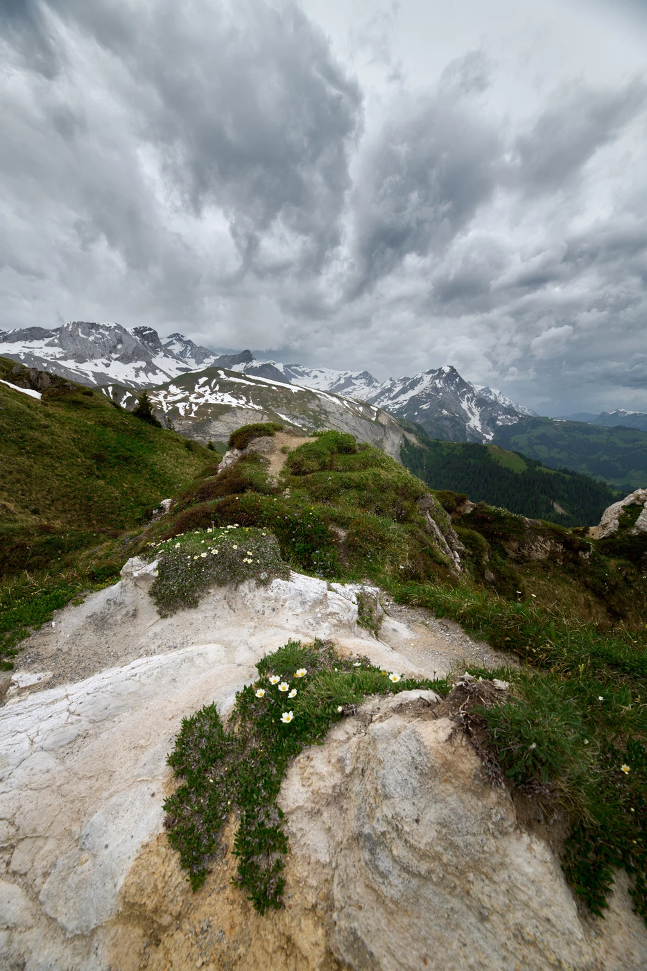
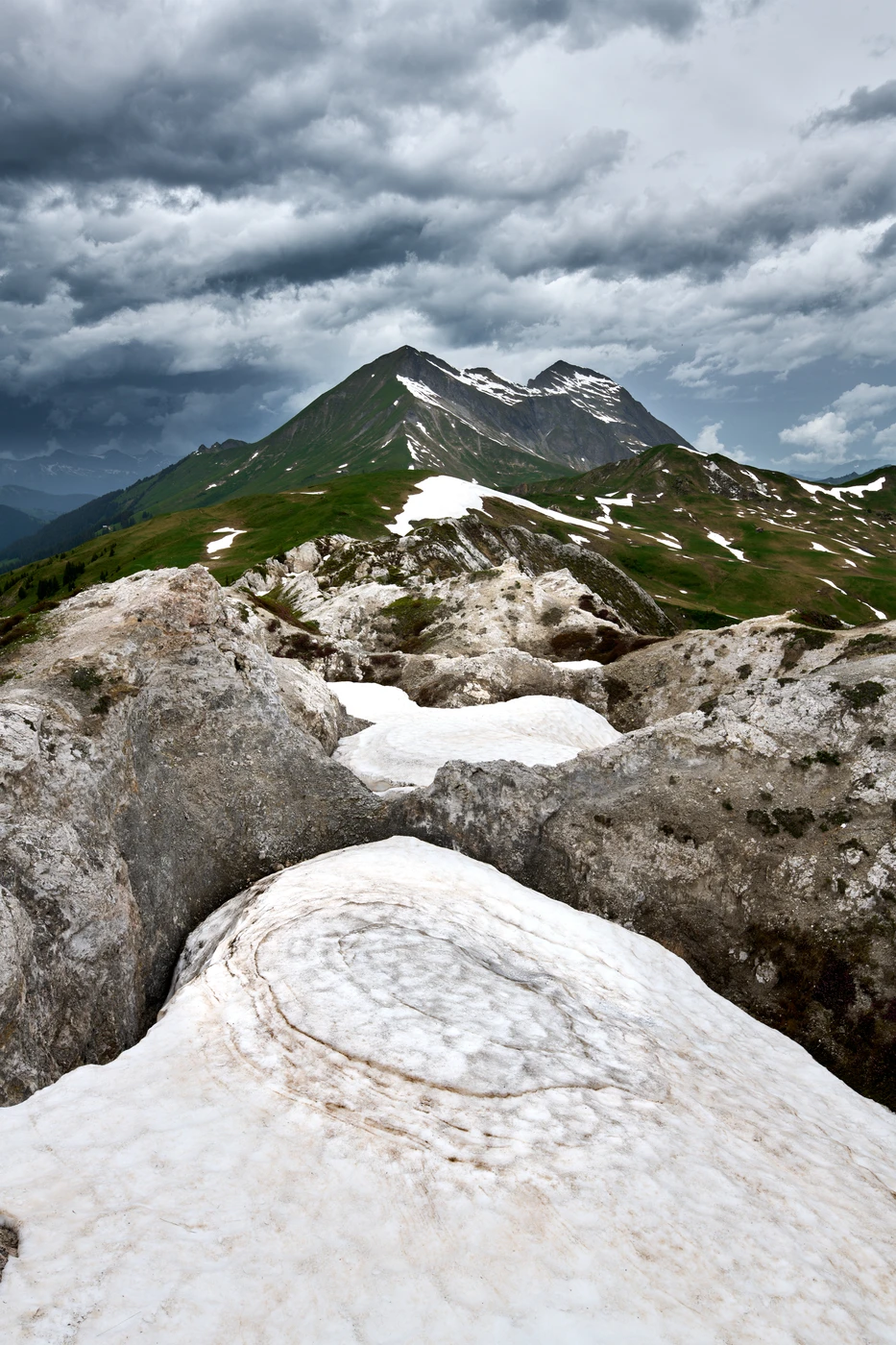
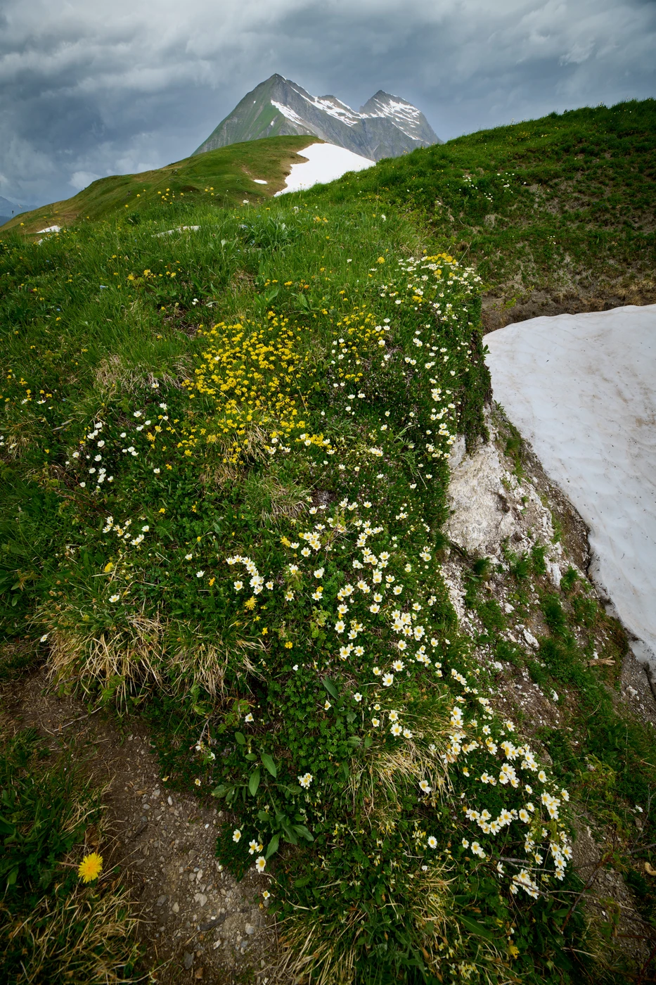
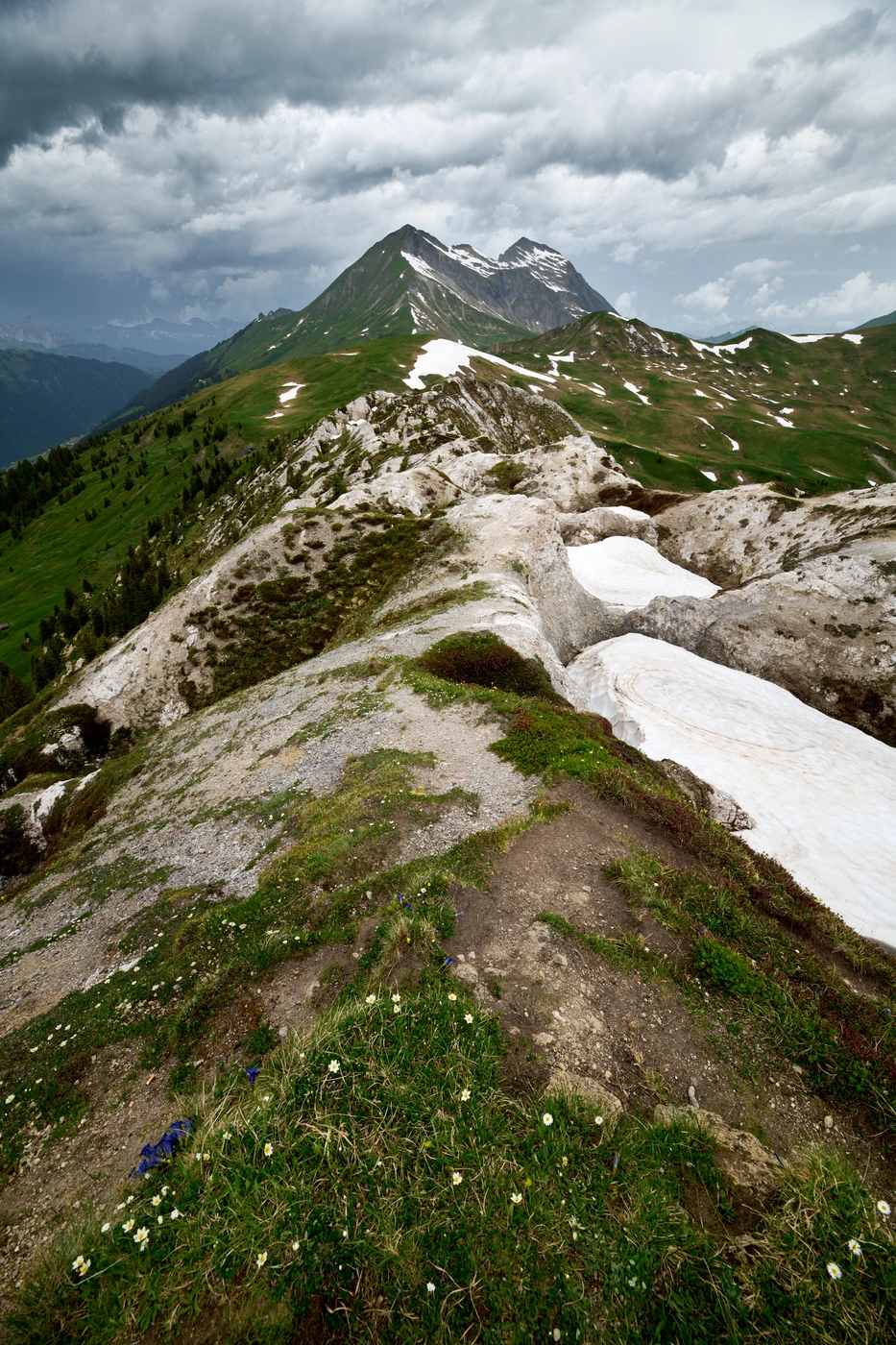
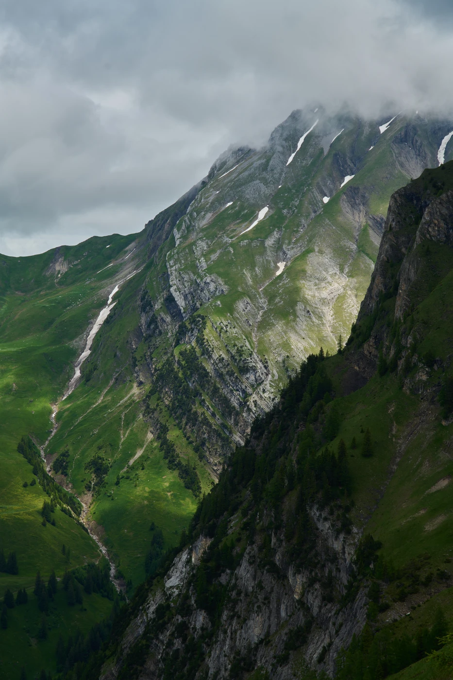
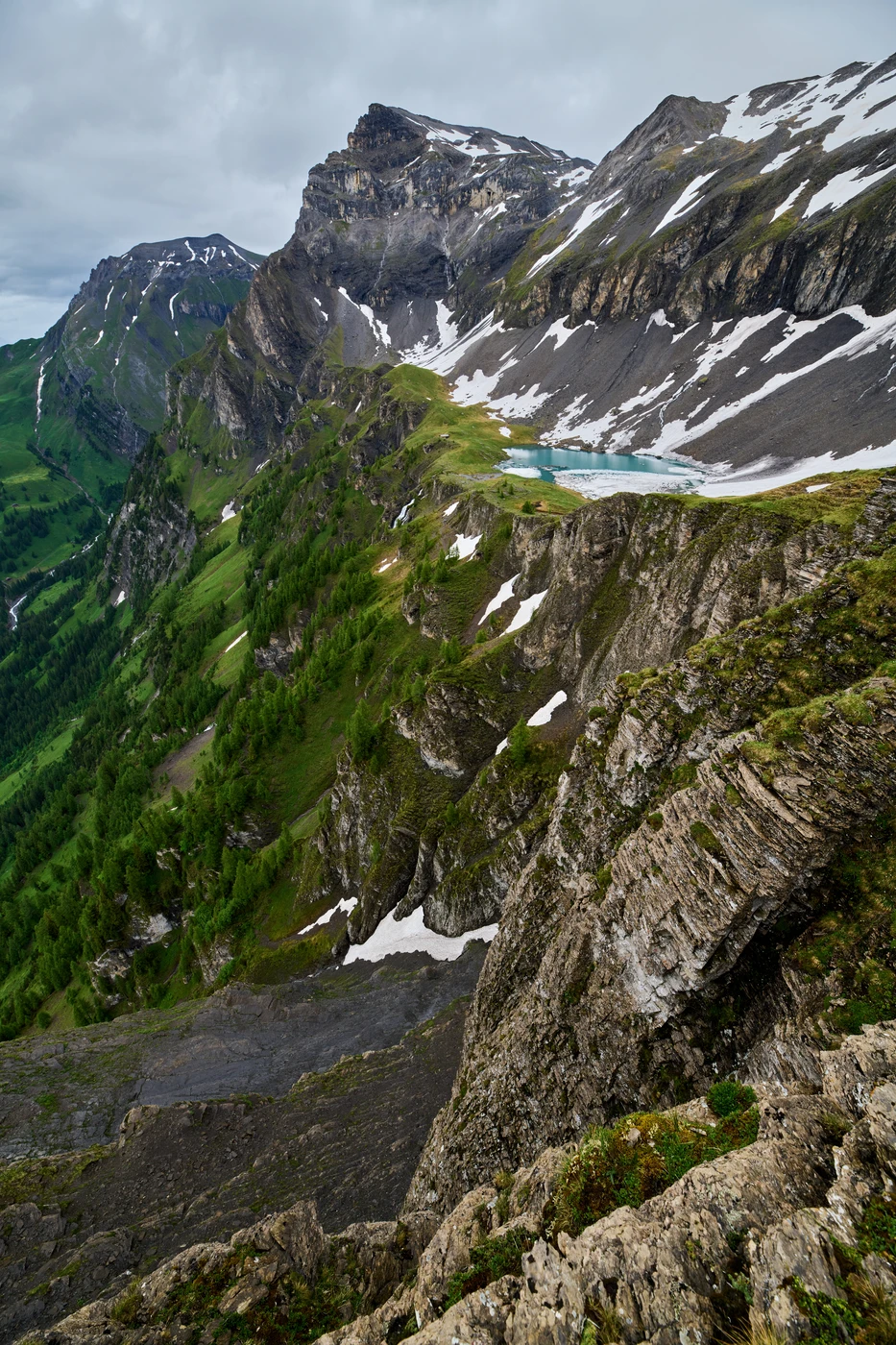
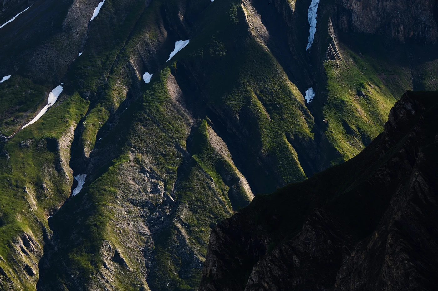
We haven’t spent much time there and directly continued to the Stübleni peak, where a terrain map shows many small crater-like holes in the ground. The map was correct: the entire area between Stübleni and Trütlisberg peaks has a deeply furrowed structure - probably caused by erosion, glacier movement, and harsh alpine climate - with only a narrow path wandering in the middle. It was a photographers’ dream spot: flower beds in the foreground, midground dotted with these depressions, and many beautiful mountains in the background - including Giferspitz, Niesehorn, Wildhorn, and many others.
The only thing that ruined this perfect day was the storm that hit us on the way down.


Expedition to the edge of the Simmental valley
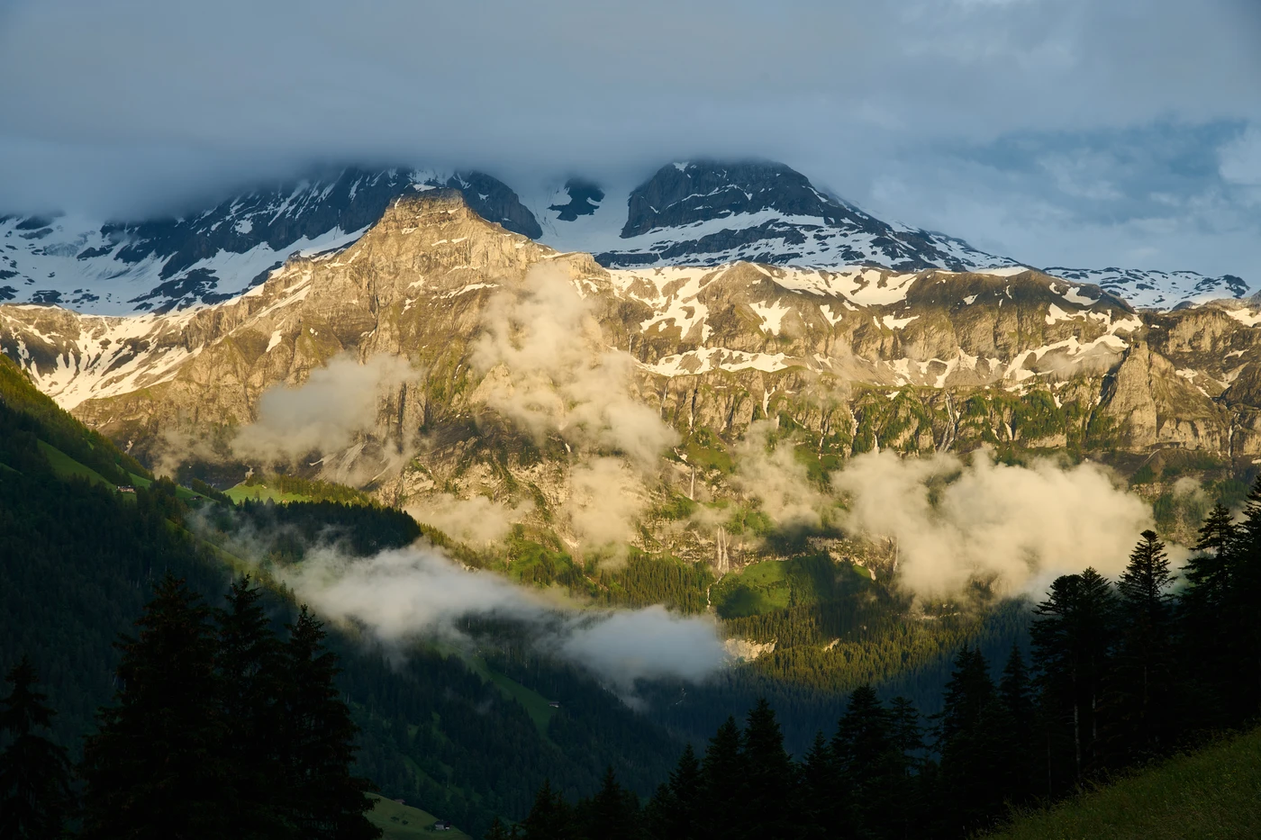
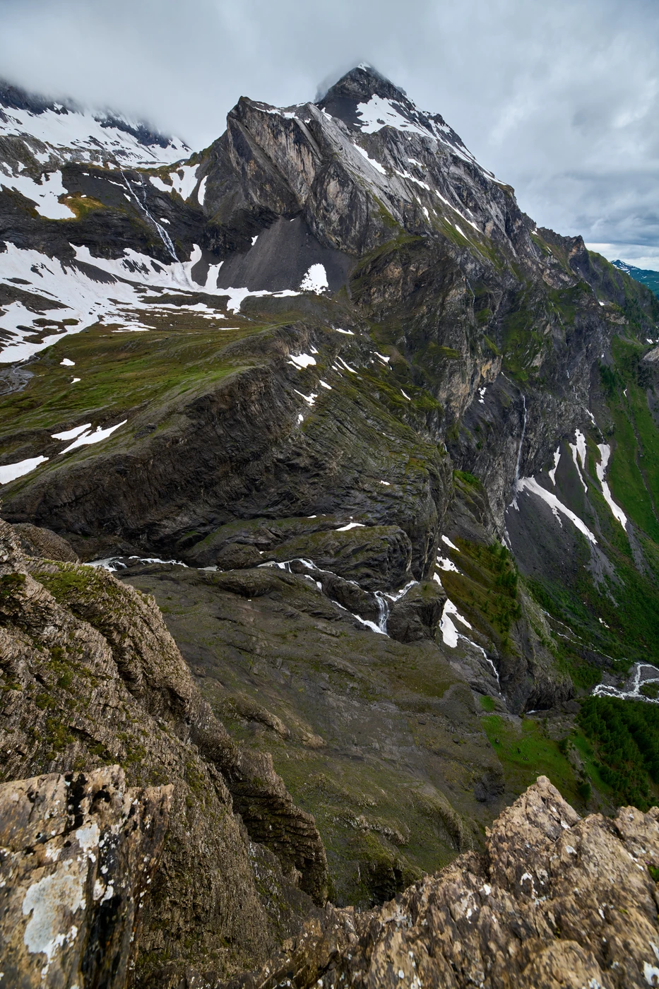
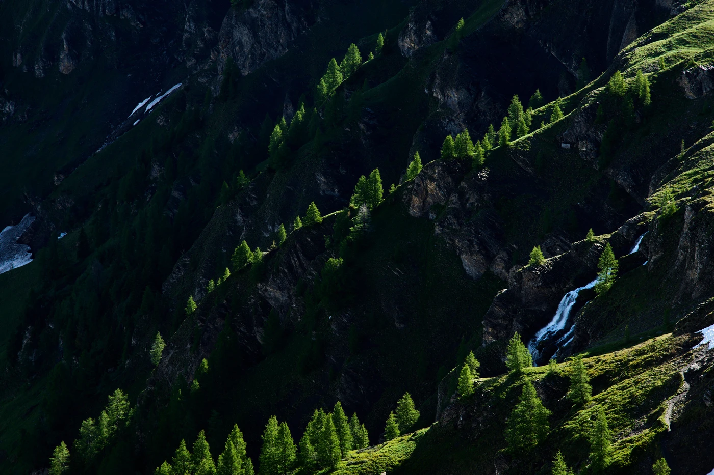
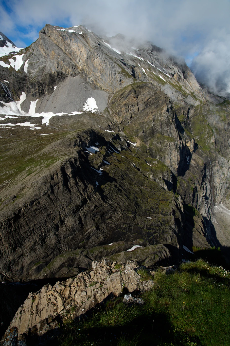
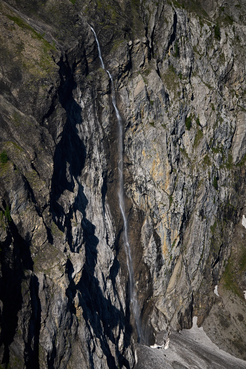
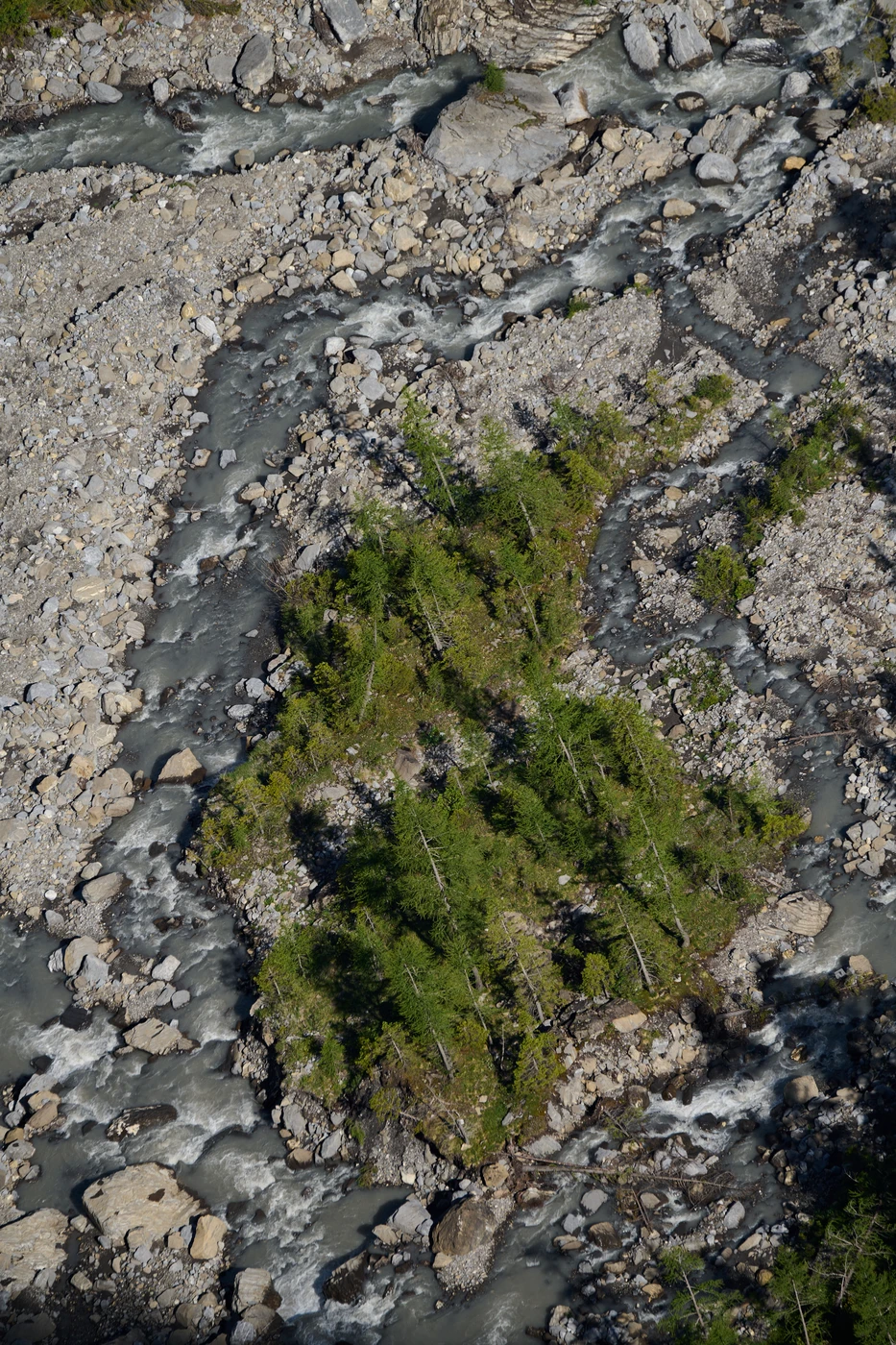
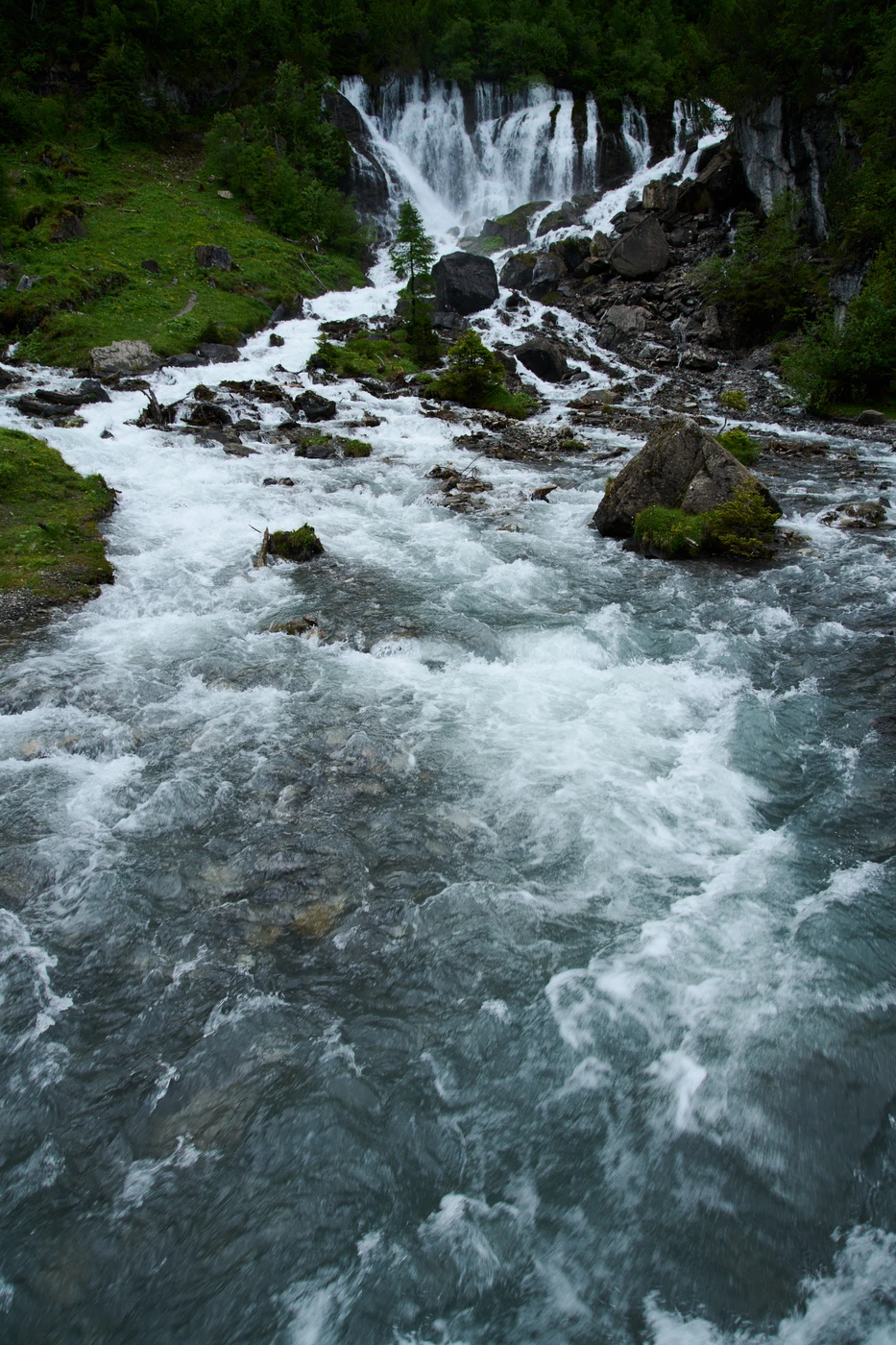
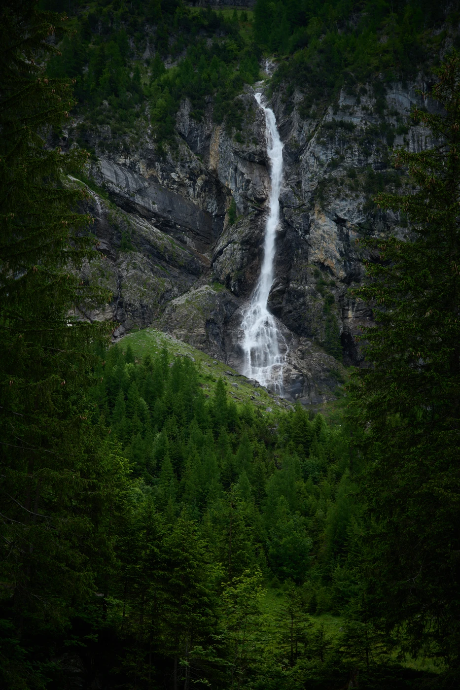
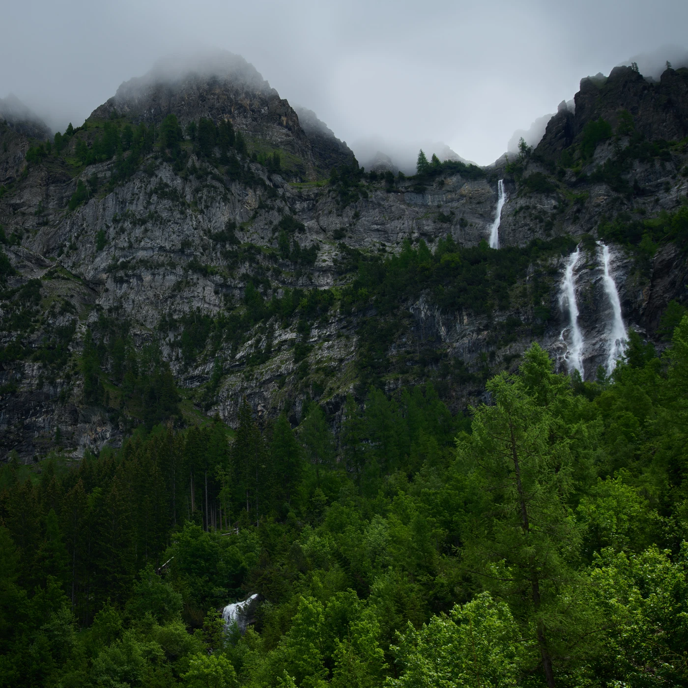
This journey started where Simmental valley ends: on the last parking place. Only an offroad car or your own foot can take you further. The first half of the hike was easy: a mild ascent on a smooth path next to the artificial stream bed of the Simmer river, a shower in the water spray near Simmenfälle falls (handy in a hot day before ascent), passing a few farms with grazing cattle, and finally arriving near the massive spring Siebenbrunnen (German for Seven Springs). The dozens of meters wide river flows directly from the rock here.
From this point, the hike becomes more demanding as the ascent becomes almost vertical. Fortunately, the path is occasionally equipped with chains (so-called “via ferrata” or “Klettersteig” as they call it in the German-speaking Alps). The altitude difference between Siebenbrunnen and our final destination is more than 650 meters in two kilometers (total altitude diff is about 1000 meters). However, the views are breathtaking during the hike, but the most beautiful outlook is waiting for us on the top plain.

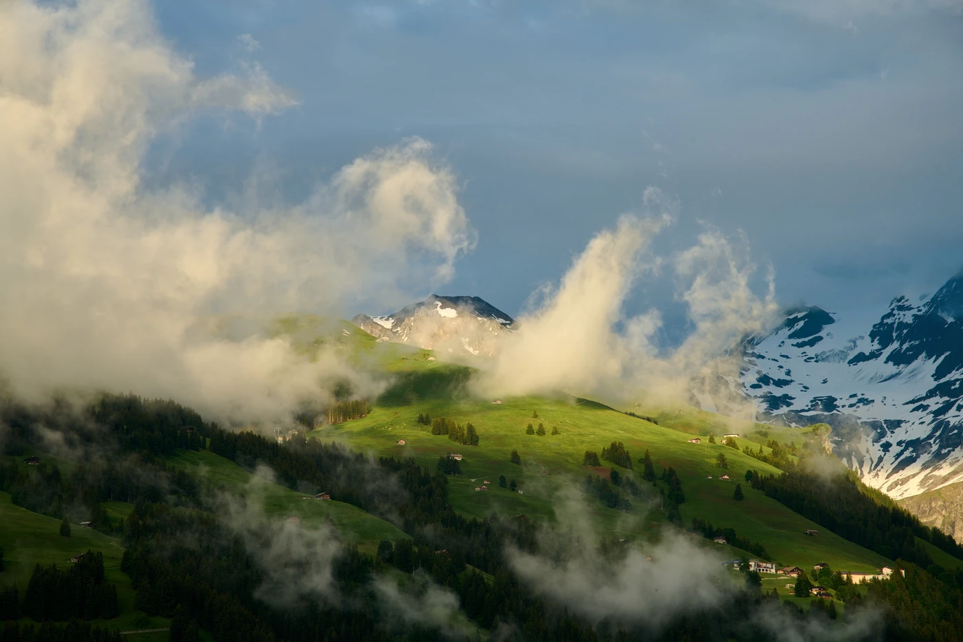

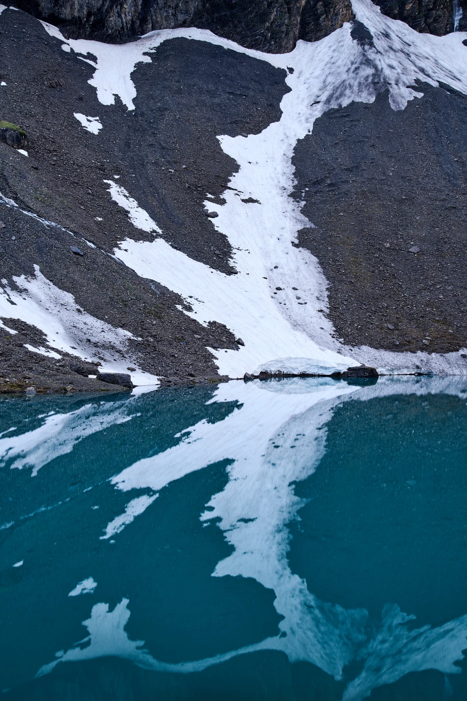
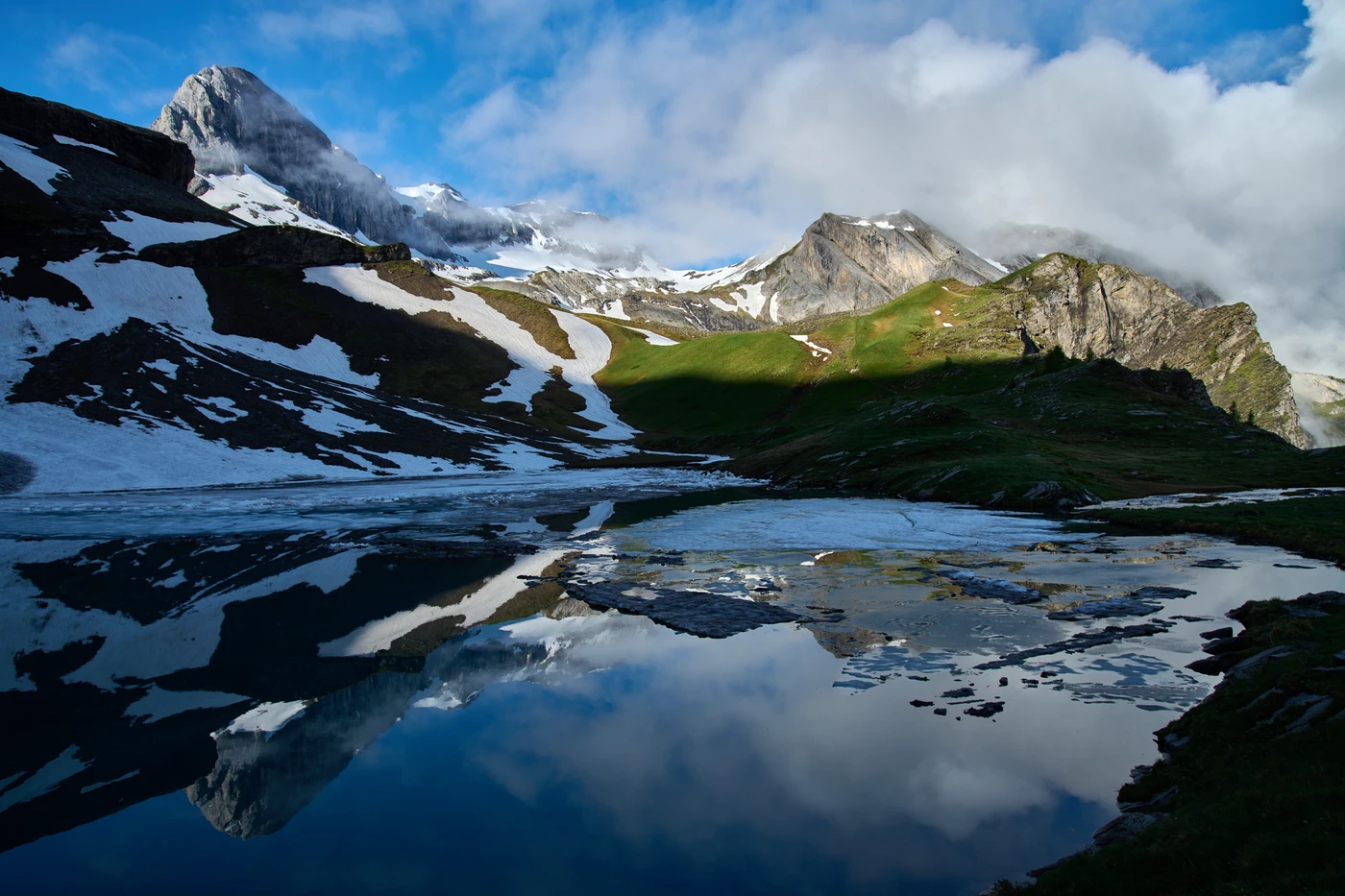
Flueseeli lake
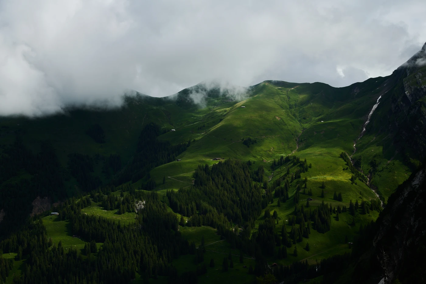
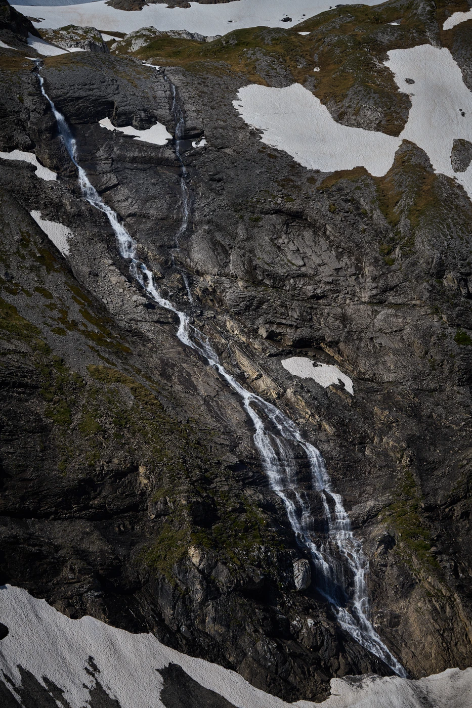
We spent the night in the Fluhseehütte - alpine hut named according to the nearby Fluhsee/Flueseeli lake. By the end of June, it was still partly covered by ice floes. The water streamed everywhere: the entire area irrigates a vast glacier of the Plaine Morte (Dead Plain in French). The after-the-rain evening and the following morning provided many unforgettable views of hillside pastures, nearby mountains, infinite water streams & waterfalls, and the entire Simmental valley.


